

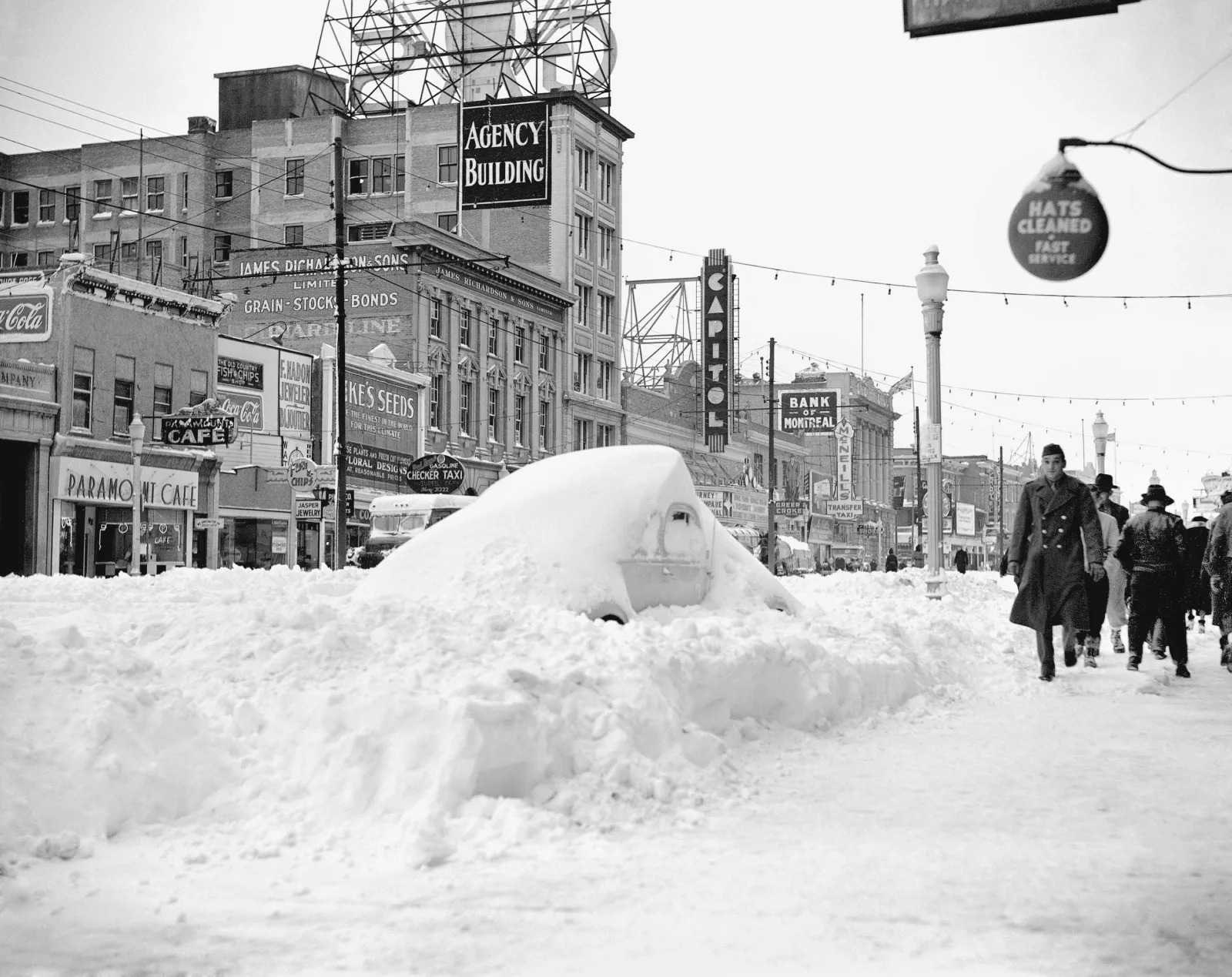
Planning for winter weather operations and seasonal logistics requires early analysis of long-range climate indicators. The winter 2026–2027 US snow forecast relies heavily on ocean-atmosphere interactions across the Equatorial Pacific, specifically the status of the El Niño-Southern Oscillation (ENSO) cycle.
Evaluating how atmospheric pressure patterns, polar jet stream behavior, and sea surface temperature anomalies interact allows meteorologists to map out anticipated snowfall trends, cold air outbreaks, and precipitation anomalies across North America months in advance.
Climate Drivers: ENSO Status and Atmospheric Circulation Patterns
Determining seasonal precipitation patterns across North America begins with evaluating Pacific sea surface temperatures and high-latitude pressure oscillations.
                  [ PACIFIC JET STREAM DYNAMICS (LA NIÑA INFLUENCE) ]

     Polar Jet Stream (Wavy / North)  --->  Brings Arctic Air & Snow to PNW / Great Lakes
  -------------------------------------------------------------------------------------
   Subtropical Jet Stream (South)    --->  Pushed Farther South, Drier Conditions in Sunbelt
Key meteorological indices influencing the 2026–2027 winter season include:
- Equatorial Pacific Sea Surface Temperatures (SST): Weak-to-moderate La Niña conditions dominate the tropical Pacific, steering colder Arctic air masses southward into the Northern Tier of the United States.
- Polar Vortex Stability: Early atmospheric modeling indicates a variable Stratospheric Polar Vortex, increasing the likelihood of periodic mid-winter cold air disruptions across the Central and Eastern US.
- Pacific-North American (PNA) Pattern: Negative phases of the PNA are expected to amplify troughing in the Western US, facilitating frequent storm tracks across the Pacific Northwest and Northern Rockies.
Regional Snowfall Outlook: Northern Tier vs. Southern Sunbelt
Regional weather dynamics vary significantly depending on geographic latitude, elevation, and proximity to major moisture sources like the Great Lakes or the Gulf of Mexico.
+-------------------------------------------------------------------+
|  [ Northern Tier & Rockies ]      |  [ Midwest & Great Lakes ]   |
|  - Above-Average Snowfall         |  - Heavy Lake-Effect Snow    |
|  - Below-Average Temperatures     |  - Frequent Cold Fronts      |
+-----------------------------------+-------------------------------+
|  [ Mid-Atlantic & Northeast ]     |  [ Southern US / Sunbelt ]    |
|  - Near-Normal / Variable Snow    |  - Below-Average Snowfall    |
|  - Coastal Storm Vulnerability    |  - Milder, Drier Winter       |
+-------------------------------------------------------------------+
Detailed regional breakdown for the upcoming winter includes:
- Pacific Northwest and Northern Rockies: Above-average snowfall is anticipated due to an active northern storm track, providing early mountain snowpack crucial for regional water reservoirs and winter tourism.
- Great Lakes and Upper Midwest: Cold polar air passing over unseasonably warm lake waters will likely trigger elevated lake-effect snow events across Michigan, Upstate New York, and Northern Pennsylvania during early winter.
- Mid-Atlantic and Northeast: Coastal storm tracks (Nor'easters) remain highly dependent on short-term blocking patterns over Greenland (Negative NAO phase), leading to variable snowfall with periods of mixed precipitation near urban corridors.
- Southern States: Below-average snowfall and precipitation are expected across Texas, the Gulf Coast, and the Southeast, aligned with typical La Niña atmospheric signatures.
Quantitative Regional Projections
Meteorological agencies utilize long-range ensemble systems—such as the European Centre for Medium-Range Weather Forecasts (ECMWF) and NOAA's Climate Prediction Center (CPC) models—to project seasonal anomalies.
US Geographic RegionPredicted Temperature AnomalySnowfall Probability IndexPrimary DriverPacific NorthwestBelow AverageHigh (Above Normal)La Niña Jet Stream DipNorthern RockiesBelow AverageVery High (Above Normal)Troughing / Orographic LiftUpper MidwestNear / Below AverageHigh (Above Normal)Lake-Effect / Alberta ClippersNortheast CorridorNear AverageModerate (Near Normal)Coastal Cyclone DynamicsSouthern Plains / SoutheastAbove AverageLow (Below Normal)Subtropical Jet Suppression
Infrastructure, Energy, and Transportation Preparedness
Translating long-range snow forecasts into actionable risk mitigation allows public works departments and logistics networks to optimize resource allocation:
- Municipal Salt and De-Icing Reserves: Departments of Transportation in the Upper Midwest and Northwest are scaling up salt and liquid de-icer stockpiles ahead of anticipated early November freezing events.
- Energy Grid Load Management: Regional transmission organizations across the Midwest are evaluating heating fuel demand models to prevent grid overload during potential cold snaps triggered by polar vortex disruptions.
- Supply Chain Rerouting: Logistics operators are establishing alternative transit corridors to minimize freight delays through key high-elevation passes in the Cascade and Rocky Mountain ranges.
Conclusion
The winter 2026–2027 US snow forecast points toward a classical La Niña pattern characterized by heavy snowfall and colder temperatures across the Northern Tier, Pacific Northwest, and Great Lakes regions. Conversely, southern states are projected to experience milder, drier conditions. While seasonal forecasts provide high-level probabilities, localized storm severity will depend on short-range atmospheric blocking patterns as the winter season unfolds.
References & Sources:
- National Oceanic and Atmospheric Administration (NOAA) – Climate Prediction Center (CPC) Seasonal Outlook
- European Centre for Medium-Range Weather Forecasts (ECMWF) Long-Range Ensemble Models
- World Meteorological Organization (WMO) – Global ENSO Update and Analysis
Tags: #WinterForecast #USSnowForecast #LaNiña2026 #Meteorology #WeatherOutlook #RuangTekno #ClimateAnalysis




Komentar 0
Belum ada komentar. Jadilah yang pertama berkomentar!